Chao Phraya Riverside Dining Walk
This is an area guide for choosing an evening riverfront meal after Sanam Luang, not a single named market or venue.
Search this destination on Google Maps ↗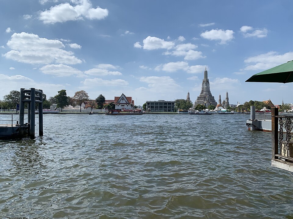
Explore this destination
This is an area guide for choosing an evening riverfront meal after Sanam Luang, not a single named market or venue.
About this site and its management
This riverside dining walk is an itinerary, not a single managed attraction. Each restaurant, public space and ferry pier has its own operator.
Essential information
- Area
- Maharaj Road and Chao Phraya riverbank, Bangkok, Thailand
- Opening and access
- Hours depend on chosen restaurant and pier
- Admission
- No itinerary ticket; meals and transport extra
- Getting here and location
- Chao Phraya Riverside Dining Walk
Background and significance
Long-standing river transport and commerce help explain the mix of food venues, piers and historic neighborhoods along the Chao Phraya.
Architecture and what to notice
Compare Phra Nakhon and Thonburi-bank options, river views, ferry crossings and your route home.
Visitor advice
Verify individual restaurant hours and final boat or transit services; not all riverfront venues open late.
Step-by-step walking route
- Sanam Luang
- Maharaj Road or Tha Chang area
- choose an operating riverfront restaurant
- check last boats and onward transport.
Where to take photos
Choose a public viewpoint with boats and evening reflections; keep tripods off narrow walkways and respect diners’ privacy.
Getting here and location
Sanam Luang → Maharaj Road or Tha Chang area → choose an operating riverfront restaurant → check last boats and onward transport.
Search this destination on Google Maps ↗Where to stay nearby
For several Old Town stops, compare Phra Nakhon or MRT-connected accommodation based on your evening return plans.
Visitor reviews
Check the latest rating and authentic visitor experiences for this specific place on Google Maps.
Google Maps ↗Frequently asked questions
Is this directly on Sanam Luang?
This is a stop on an Old Town itinerary around the field. Exact walking distance and entrance depend on the destination; check the map pin before setting off.
How should I approach this place?
Sanam Luang → Maharaj Road or Tha Chang area → choose an operating riverfront restaurant → check last boats and onward transport.
What should I check on the day?
Confirm opening arrangements, access and any road or pier restrictions, especially during official ceremonies.
Related stops
An independent visitor guide to Bangkok Old Town